

Accurate Utility Mapping With Advanced GPS Technology
High-Precision Mapping
Improved Project Planning
Digital Utility Information
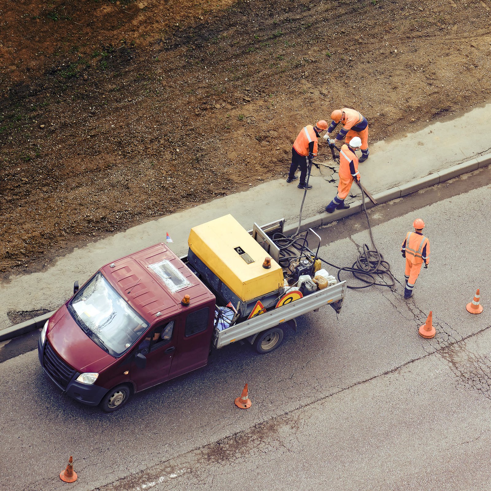
Detailed Utility Mapping Before Construction
Accurate utility information is essential for projects that require detailed planning and coordination. AC Locating provides RTK GPS utility mapping services to help identify and document underground utilities with precision.
Our mapping services support:
-
Construction planning
-
Engineering projects
-
Site development
-
Utility documentation
-
Excavation preparation
How RTK GPS Utility Mapping Works
1. Site Assessment
We review project requirements and determine the best approach for utility mapping.
2. Precision Data Collection
Our technicians use RTK GPS technology to capture accurate utility locations.
3. Mapping & Documentation
Collected data is organized into reliable utility maps for project use.
Professional Utility Locating Process
Reliable RTK GPS Utility Mapping Across Florida
AC Locating provides precise RTK GPS utility mapping services to support construction companies, contractors, and property owners throughout Florida.
By combining professional locating methods with advanced GPS technology, we help create accurate utility information that improves safety, reduces risks, and supports efficient project planning.
Get Accurate Utility Data For Your Next Project
Contact AC Locating today to learn how RTK GPS utility mapping can support your construction or excavation needs.